Here we are, with our mapping project for pathways for people with disabilities. It doesn’t sound very poetic written like that, far from it. The title of the project is “from pathway to pathway” – #disentieroinsentiero #accessiblelife – and sounds definitely better than mapping but, actually, mapping accessible pathways is what we do .
What is an accessible pathway?
Let’s start with a simple definition: an accessible pathway is a pathway that can be walked thanks to the use of tools meant for people with reduced mobility. It can be a mother with baby carriages and strollers for children, or wheelchairs, or other tools for assisted walking.
An accessible route is a road where there are no obstacles such as steps that are too high or too steep and therefore difficult to overcome. In accessible roads we can find platforms to overcome them. It may happen that a simple walk can only remain a desire for people we care about. They would like to walk with us but helas, there are barriers that are too difficult for them. Or maybe they don’t want to be a burden and prefer not to come … But what about if they know that the place is accessible? This can make a big difference.
Where our adventure begins
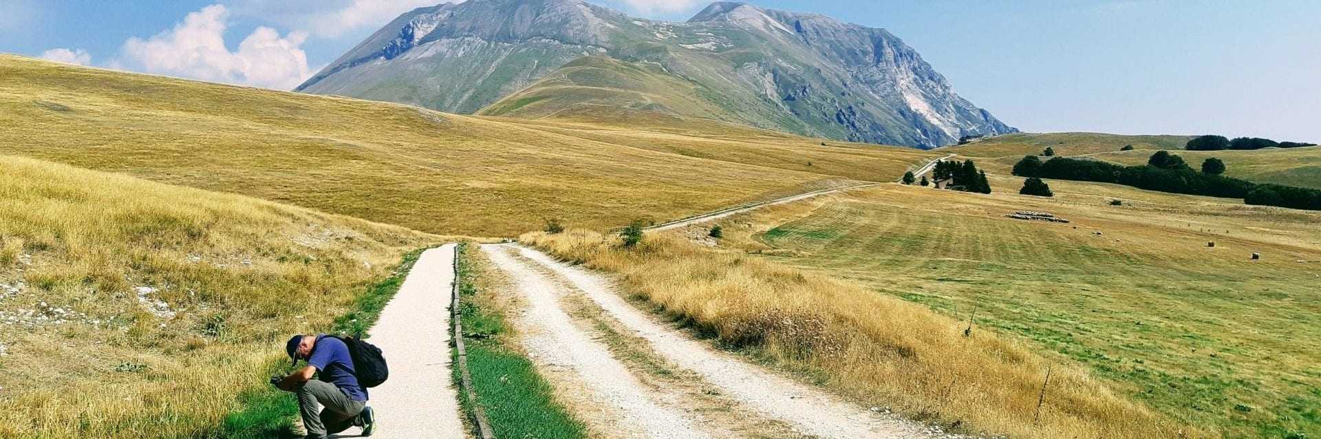
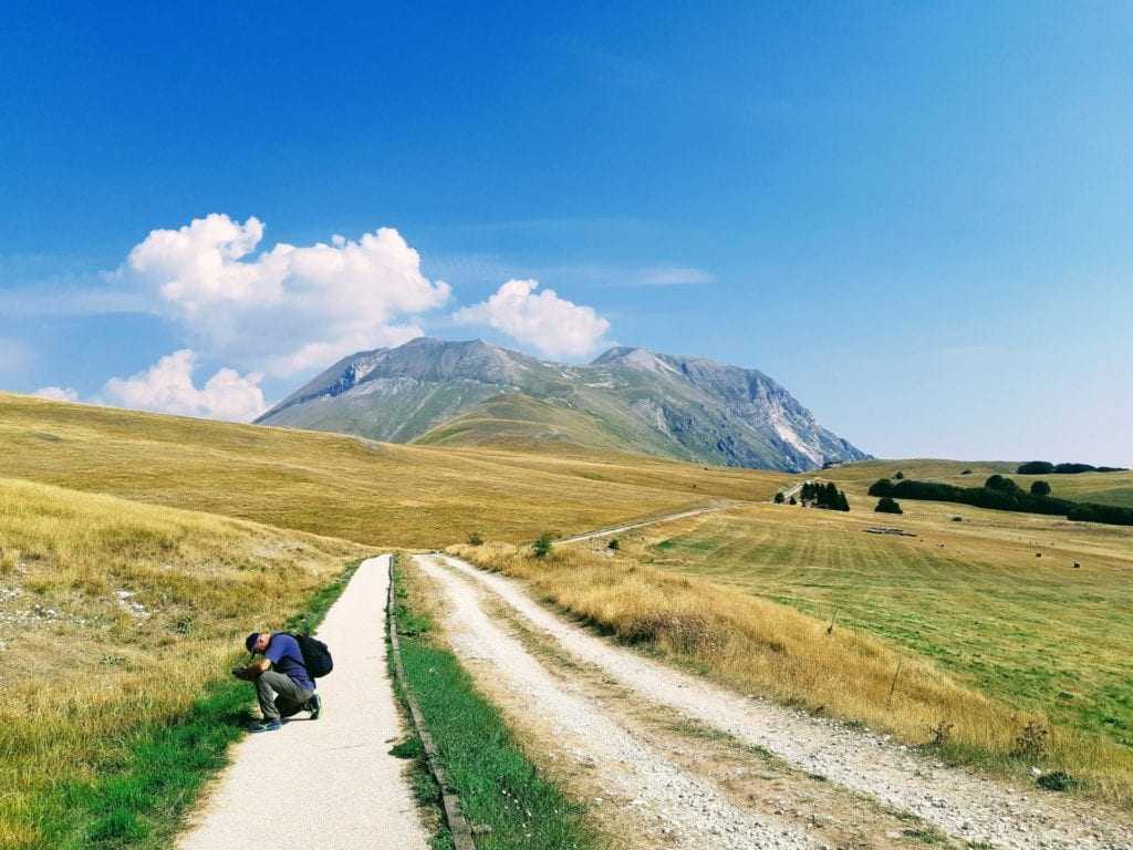
Our adventure begins in September 2017, to be precise on the 17th during an excursion to Monte Vettore in the Sibillini Mountains. Some of you may already know of the existence of an unwritten connection between the Sibillini Mountains (Umbria and Marche) and Veneto. But what happened that day? First, we never arrived on the Vettore, too much wind and too cold, the clouds sped fast in the sky.
We therefore decided to go to Forca di Presta, on the opposite side of Monte Vettore, and … there it was. A pathway for people with disabilities completely paved with wood of which we did not know the existence, indeed other people did not know either. It was enough to start our adventure. If you want to know more about the pathway and the Vettore read our Q5.
Why this project on accessible pathways?
Let’s start with this assumption: we all have a more or less direct knowledge of disability or problems of accessibility and this would be already enough. However, we want to link two more concepts: territorial identity and sustainable tourism. I have to take a step back, to the time soon after the earthquake in Central Italy, as Forca di Presta pathway is right in those territories.
At the time, among other projects, we were carrying out – Progetto Re-Building – to give back, better still not to lose, those places their identity. Places that have risked disappearing both for the earthquake effects and also for the abandonment of areas by the population. From this it was natural – for us, for other people may not be so obvious – to connect the aspects of sustainable tourism.
And here we quote ourselves from Q11 “Changing the way of traveling, reversing a trend, enhancing small and unknown places – sometimes unknown also to those who live nearby – linking them in a single map always keeping in mind the path of inclusion and accessibility for people with disabilities is our way to contribute to change. We wish, starting from the pathways, to restore the identity / SOUL of the places …
“Why this change from identity to soul? We explain it again in Q11 in the article ““Costruzioni, sismicità e turismo sostenibile ” here it will be sufficient to say that an emotional aspect can make everything more inclusive. Speaking of identity can create division- different countries, regions, towns each with its own identity / stories, a sense of belonging more to the place than to the values it represents – the soul is a more intimate and emotional level, a value. Soul cannot divide people but only unite them.
How are we proceeding and what have we done so far?
Mapping a pathway is not trivial, it takes time and you need the right weather conditions. The outline is like that:
- We locate and map the pathways by taking normal photos and photo spheres
- Photos are uploaded to Google Maps with Street View
- Photos are linked together
You can see some pathways here:
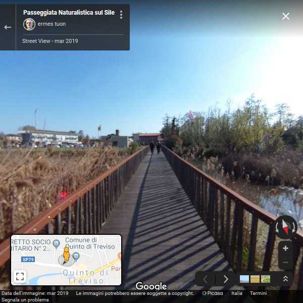
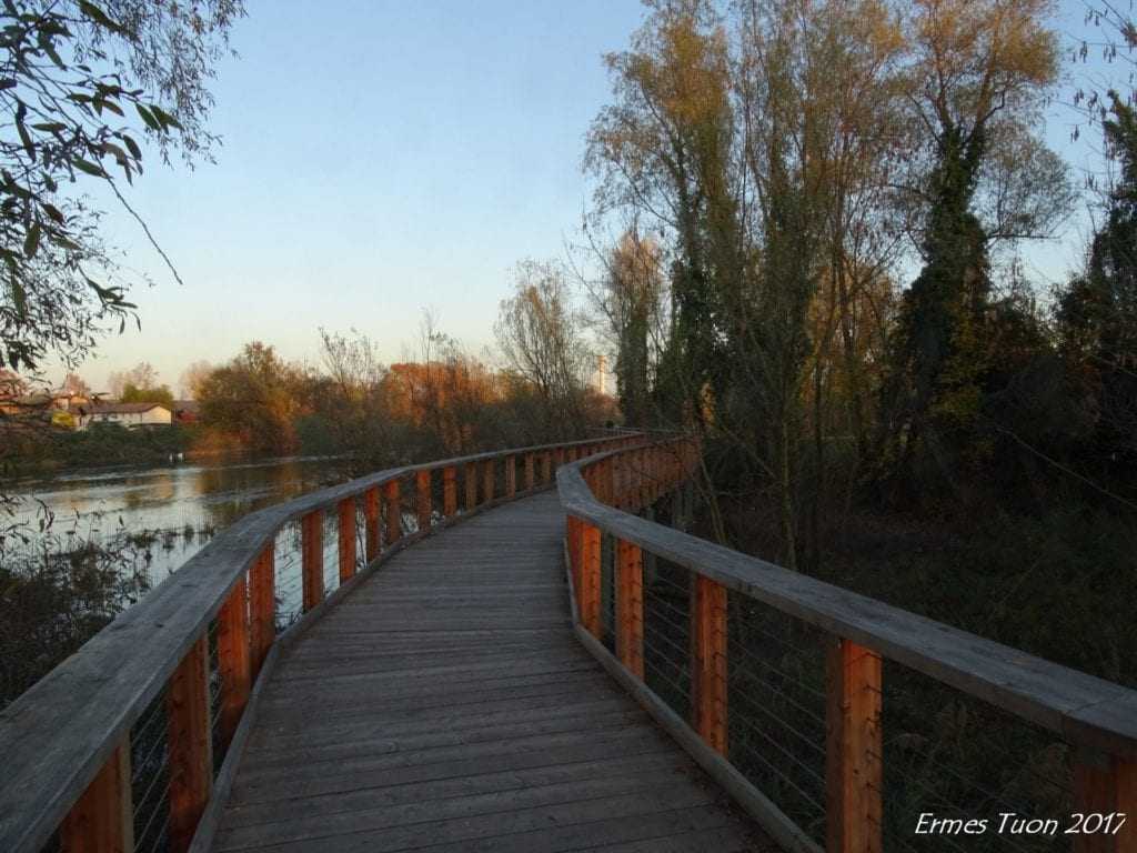
Natural oasis in Quinto di Treviso
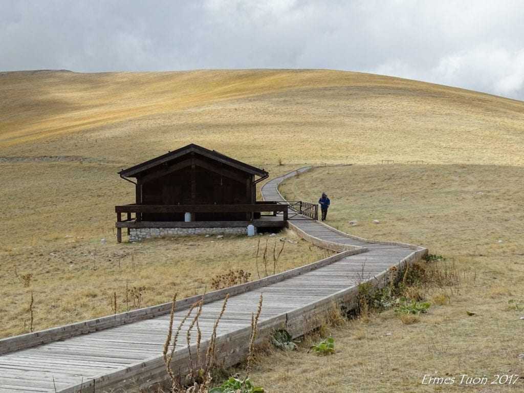
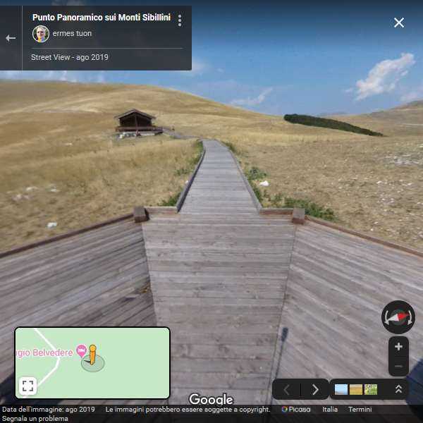
Forca di Presta – Sibillini Mountains